
texto e fotografias: Xavier

 datasheet:
Distance - 13,46km


Distance - 13,46km
Height gain - 1096m
Height lost - 1096m
Altitude Max - 3132m
Altitude min - 2093m
Type - round
Effective walk: 5h
Degree of difficulty- T5
track: aqui
video of the day
This Sunday we returned to the Val de Bagnes.
At 10 a.m. we parked in the Cabane Brunet park.
We passed through Écuries de séry with 15 minutes of walk, 10 minutes later in a continuous fork through the blue and white markings towards Mont Rogneux.
Before passing the Goli d'Aget (2760m), we turned to the Southwest, Tour of Lacs markings, 15 minutes after, at about 2800m we abandoned the marked track and point to a small col between the East and Southeast Grand Laget parties, there is no path but progress is not difficult, we reach that col at 3080m.
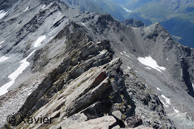
At this point there are 2 ways to approach the Grand Laget peak (3132m), follow the edge line with some easy climbing passes, T5, or move to the west side of the southern edge where a small path leads to peak, T4. I climbed up the edge went and down by the "path".
We had lunch at the small col(3080m), the scenery was beautiful and the temperature nice.
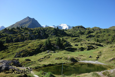
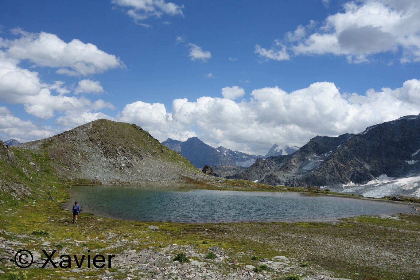
After lunch we went along the southeastern edge towards 2 small and beautiful lakes, 20 minutes later the trail passes into a beautiful rectangular lake.
Shortly after, we passed the fork to Mont Rogneux, where we meet again the ascent trail.
At 16h, return to the starting place, another beautiful 3000 in the Val de Bagnes.
 Cabane Brunet
 Val de Bagnes


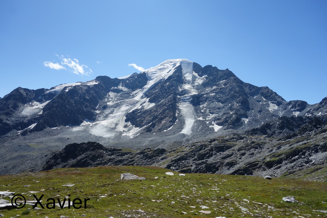
 Petit Combin


 Petit Combin
 Pointe de Boveire
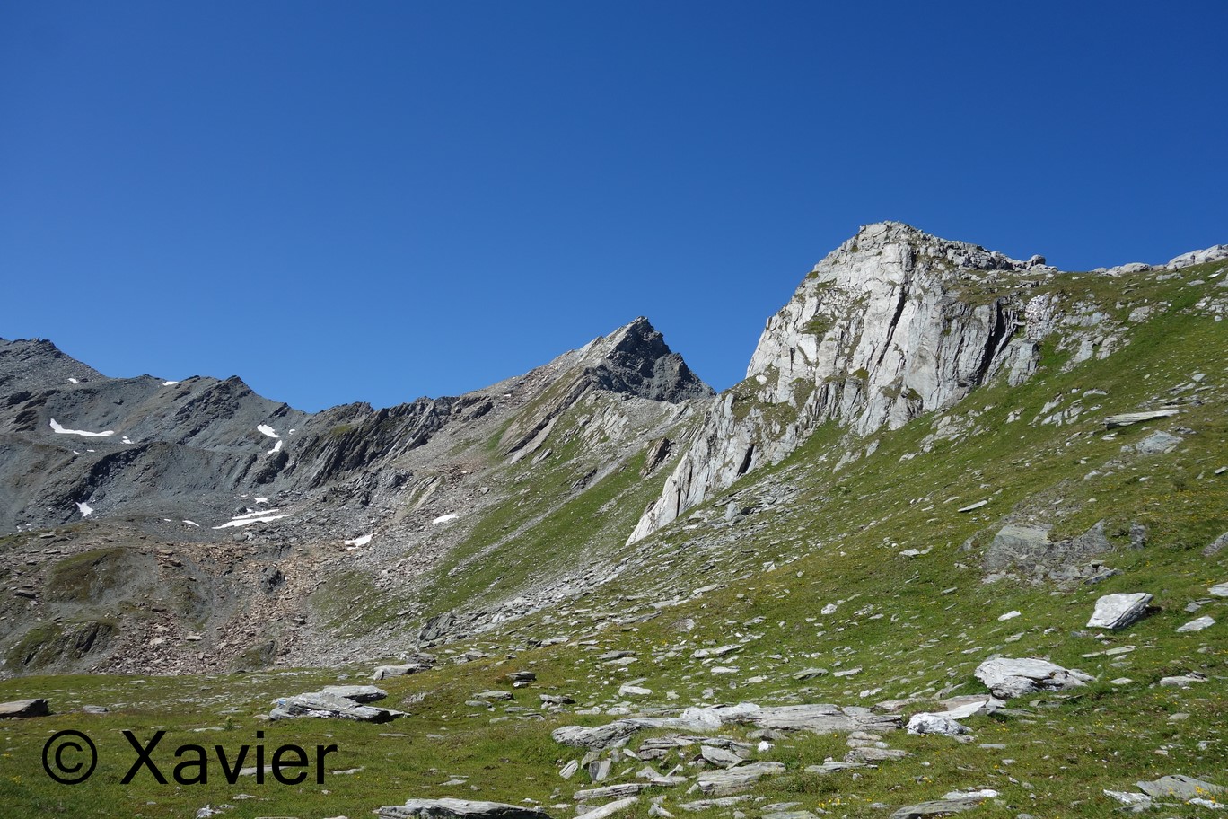
 Grand Laget

 Grand Laget


 south ridge


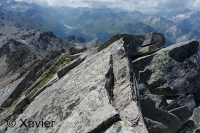
 at the summit

 Mont Rogneux
 the little "path" on the west side of the south ridge


 Petit Combin
 Grand Combin
 Mont Blanc massif

 Tour Sallière and Dents du Midi


 south ridge


Degree of difficulty- T5
track: aqui
video of the day
This Sunday we returned to the Val de Bagnes.
At 10 a.m. we parked in the Cabane Brunet park.
We passed through Écuries de séry with 15 minutes of walk, 10 minutes later in a continuous fork through the blue and white markings towards Mont Rogneux.
Before passing the Goli d'Aget (2760m), we turned to the Southwest, Tour of Lacs markings, 15 minutes after, at about 2800m we abandoned the marked track and point to a small col between the East and Southeast Grand Laget parties, there is no path but progress is not difficult, we reach that col at 3080m.
At this point there are 2 ways to approach the Grand Laget peak (3132m), follow the edge line with some easy climbing passes, T5, or move to the west side of the southern edge where a small path leads to peak, T4. I climbed up the edge went and down by the "path".
We had lunch at the small col(3080m), the scenery was beautiful and the temperature nice.
After lunch we went along the southeastern edge towards 2 small and beautiful lakes, 20 minutes later the trail passes into a beautiful rectangular lake.
Shortly after, we passed the fork to Mont Rogneux, where we meet again the ascent trail.
At 16h, return to the starting place, another beautiful 3000 in the Val de Bagnes.


Sem comentários:
Enviar um comentário