
text and photos: Xavier

 datasheet:
Distance - 16,91km


Distance - 16,91km
Height gain - 1445m
Height lost - 1445m
Altitude Max - 2884m
Altitude min - 1440m
Type - linear
Effective walk: 4h45m
Degree of difficulty- T2
track: here
video of the day
This saturday i went hiking to the region of Lac de Salanfe. I tooked the car until the end of the valley of van, where it’s allowed.
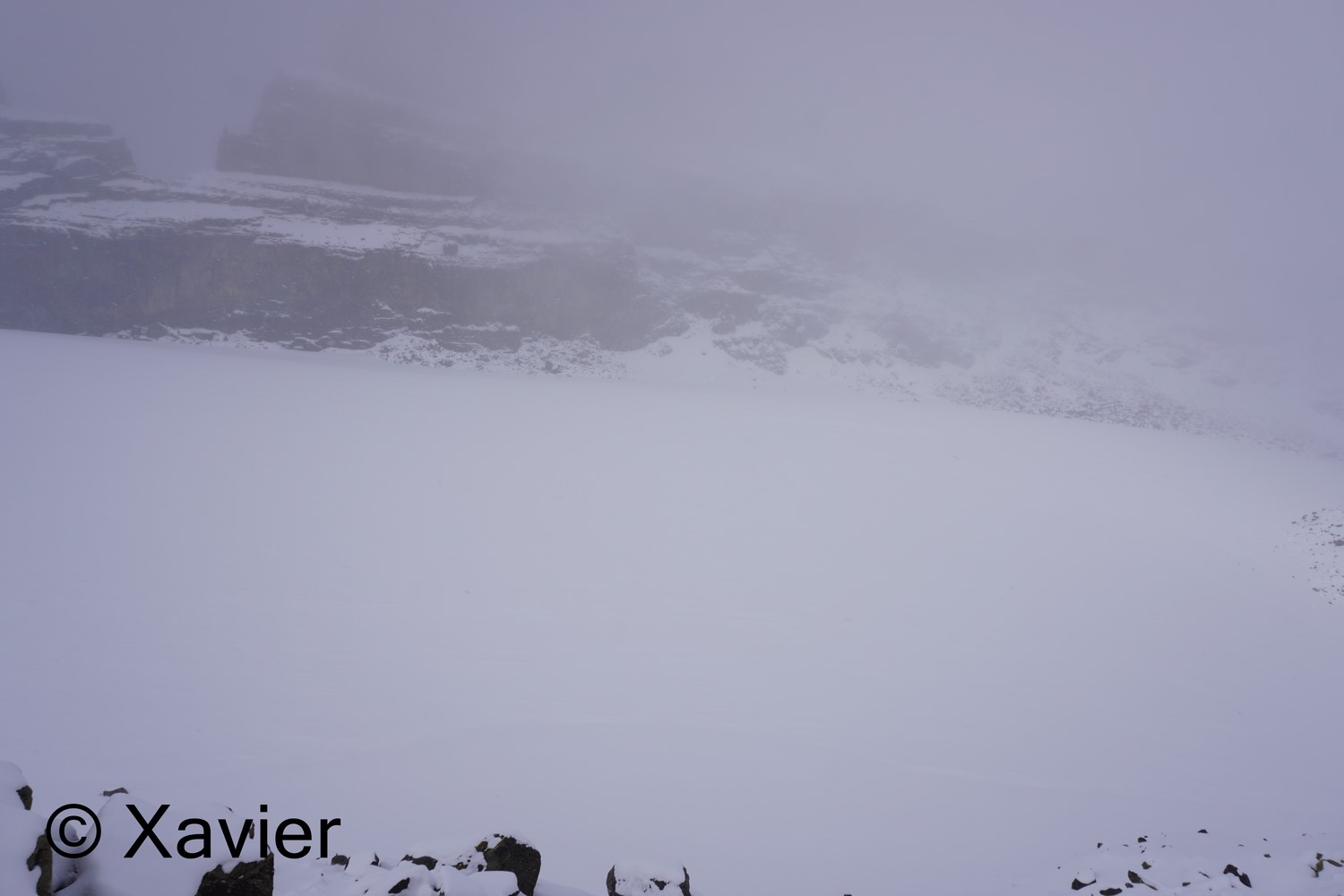
The day was still beatiful when i started the hike, i took the path that goes up to Lac de Salanfe, with one hour of hike i passed at Lac de Salanfe and at the auberge, from this point i follow for a couple minutes the path to Col du Jorat until a cross, where there is a signpost to Refuge Dents du Midi, i follow the path to NW, at about 2300m it started to snow softly, at 2800m there was about 20cm of snow, already a lot to a beginning of October.
I went inside the refuge to eat my sandwich, the weather does not improved, it continued snowing, always a lot of fog towards Dents du Midi.
At about 3 p.m. i started the return, in 1h30m i was back at the car by following the same path.


 Lac de Salanfe
 Auberge
 Lac de Salanfe


 inside the refuge

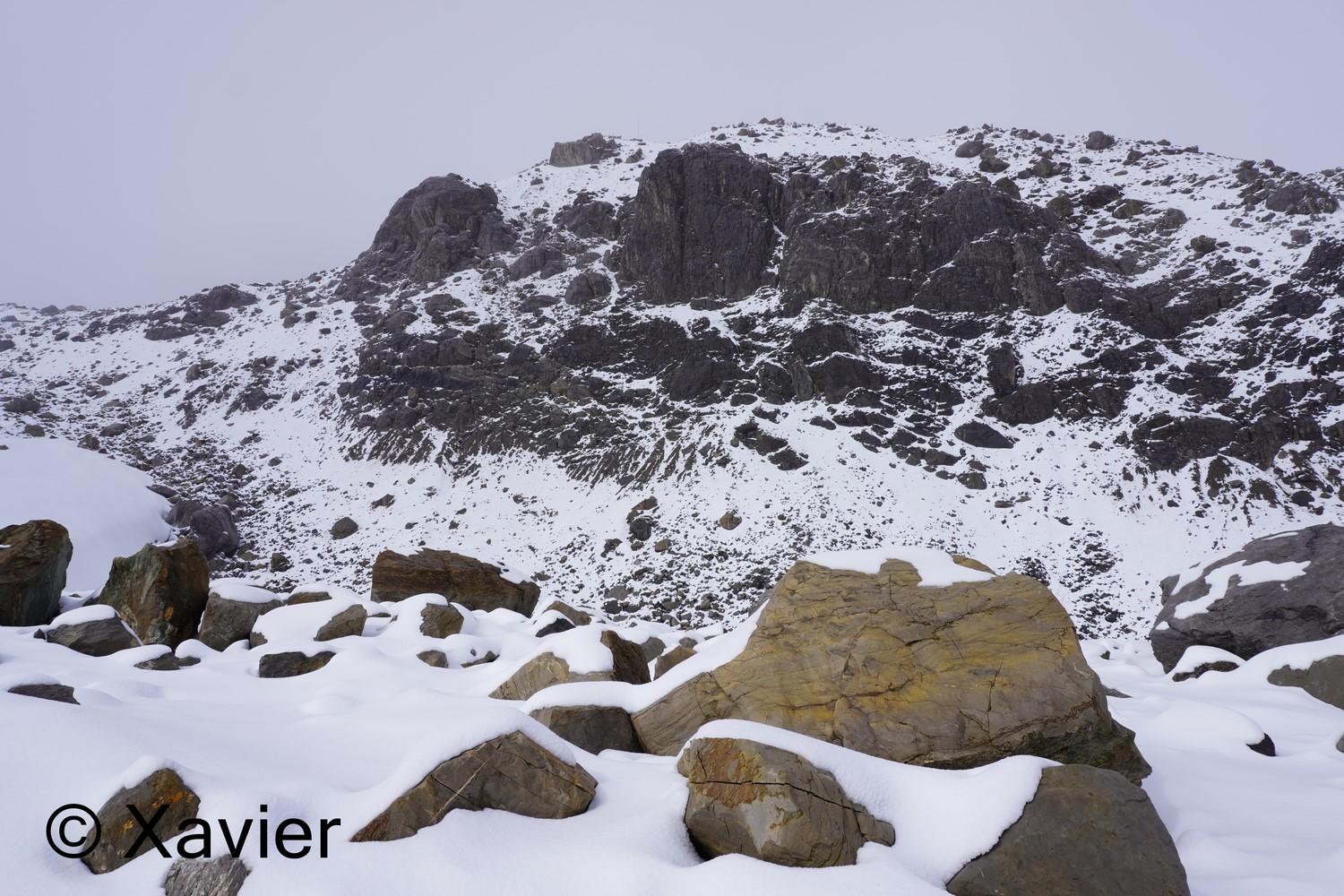
 glacier Plan Névé


 Refuge des Dents du Midi


Degree of difficulty- T2
track: here
video of the day
This saturday i went hiking to the region of Lac de Salanfe. I tooked the car until the end of the valley of van, where it’s allowed.
The day was still beatiful when i started the hike, i took the path that goes up to Lac de Salanfe, with one hour of hike i passed at Lac de Salanfe and at the auberge, from this point i follow for a couple minutes the path to Col du Jorat until a cross, where there is a signpost to Refuge Dents du Midi, i follow the path to NW, at about 2300m it started to snow softly, at 2800m there was about 20cm of snow, already a lot to a beginning of October.
I went inside the refuge to eat my sandwich, the weather does not improved, it continued snowing, always a lot of fog towards Dents du Midi.
At about 3 p.m. i started the return, in 1h30m i was back at the car by following the same path.


Sem comentários:
Enviar um comentário